Welcome to our neighborhood's central Firewise portal. We are establishing an official Firewise Community to protect our properties, create a unified voice for local infrastructure improvements, and help neighbors qualify for wildfire insurance premium discounts.
Our Wildfire Risk
Risk Comparison — Banner Mtn. / Nevada County Baseline
Higher localized risk than 99% of communities nationwide, and ~87% of California communities, per USFS's Nevada City assessment.
How these risk metrics are calculated
The risk scores and regional comparisons shown above are derived from advanced geospatial fire-behavior modeling frameworks developed by the U.S. Forest Service (USFS) and the First Street Foundation.
Rather than relying purely on historic fire footprints, these models use high-resolution satellite imagery (at a 30-meter landscape scale) to map actual localized vegetation density, topography (slope steepness), and historic weather patterns over the last decade. Computer simulations run more than 100 million predictive “Monte Carlo” wildfire events across the country to observe how fires behave, how fast they travel up terrain, and how far wind-driven ember showers are likely to spread.
When applied to our specific Wildland-Urban Interface (WUI) corridor, these simulations calculate an annualized baseline probability of a major ignition. Because fire risk accumulates over time, individual annual chances compound into the multi-year risk horizons used to build these models, helping our community plan proactive fuel reduction and home-hardening efforts accordingly.
Live Fire Cameras
Two ALERTCalifornia wildfire-detection cameras sit on Banner Mountain, right above our neighborhood. Check them any time for current smoke and weather conditions.
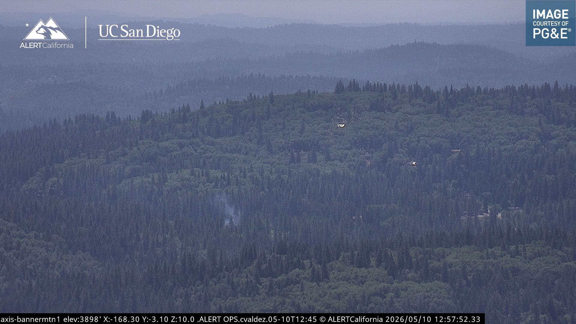
Banner Mountain Cam 1 — view live, pan & rewind
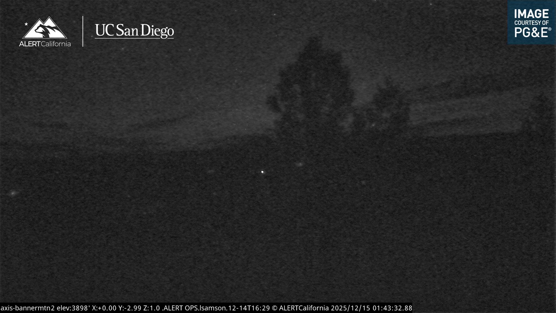
Banner Mountain Cam 2 — view live, pan & rewind
Live imagery courtesy of ALERTCalifornia | UC San Diego and PG&E. Images refresh automatically about once a minute.
Our Neighborhood

Source: Fire Safe Council of Nevada County. Open full-resolution PDF.
Join Our Mailing List
Submit your information below to stay informed about community meetings, program updates, and next steps.
Your privacy matters to us: information you submit here is used only to keep you informed about the Banner Mountain Lookout Firewise Community. We store it securely, never sell it, and never share it with third parties or affiliates for marketing or promotional purposes.